Port of call
Jost van Dyke, British Virgin Islands
Description — Jost van Dyke, British Virgin Islands
Jost van Dyke is an island in the western part of the British Virgin Islands. It is part of the Virgin Islands archipelago of the Lesser Antilles. Jost van Dyke is located in the eastern part of the Caribbean Sea, 5 kilometers northwest of Tortola. The area of Jost van Dyke is 8 km²; it is the smallest of the four main islands in the possession of the British Virgin Islands. The length of the island is 6.5 km, its width is 2.4 km. The population of the island is about 260 people. The administrative center is Great Harbour.
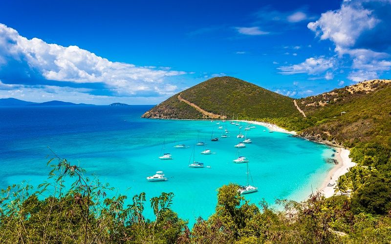
Like most islands of the Lesser Antilles arc, Jost van Dyke is of volcanic origin and is covered by mountains. Two peaks of an ancient volcano - Majoronni Hill (1054 m) and Roach Hill occupy practically its entire central part, while the south-western peninsula is almost entirely taken up by the third cone - West End Hill. Numerous bays and inlets formed by submerged mountain valleys encircle the entire island like a necklace.
The island got its name after the Dutch pirate Jost van Dyke. The first permanent settlers on the island were Quakers, who established sugarcane plantations here.
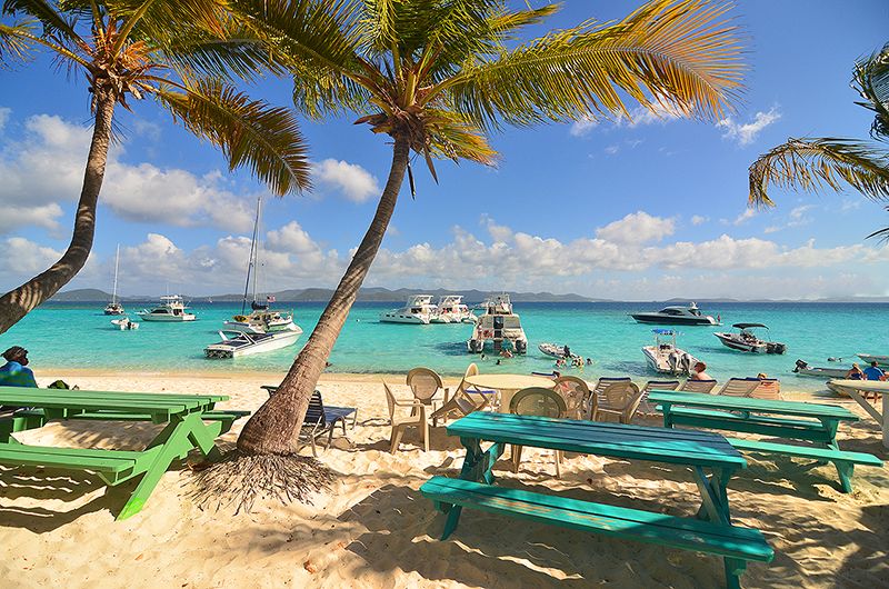
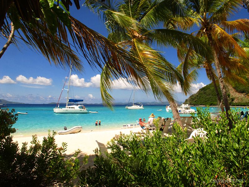
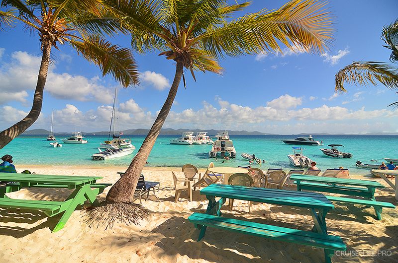
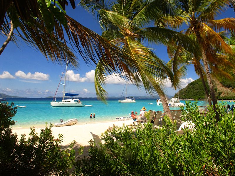
Thanks to its safe harbor and beautiful beaches, this small island is popular with tourists.
The island is surrounded by numerous reefs with several good places for diving. In autumn and winter you can watch for whales and dolphins, passing along the routes of their seasonal migrations very close to the shores of the island, and in the far east of the island, in Diamond Cay Bay, the eponymous bird sanctuary stretches out. Encompassing almost the entire water area of the bay and part of the nearby islands of Sandy Cay, Sandy Spit and Little Jost van Dyke, this sanctuary protects beaches where endangered leatherback sea turtles lay eggs, as well as two endemic species of lizards and several species of birds, including terns, gannets and pelicans.
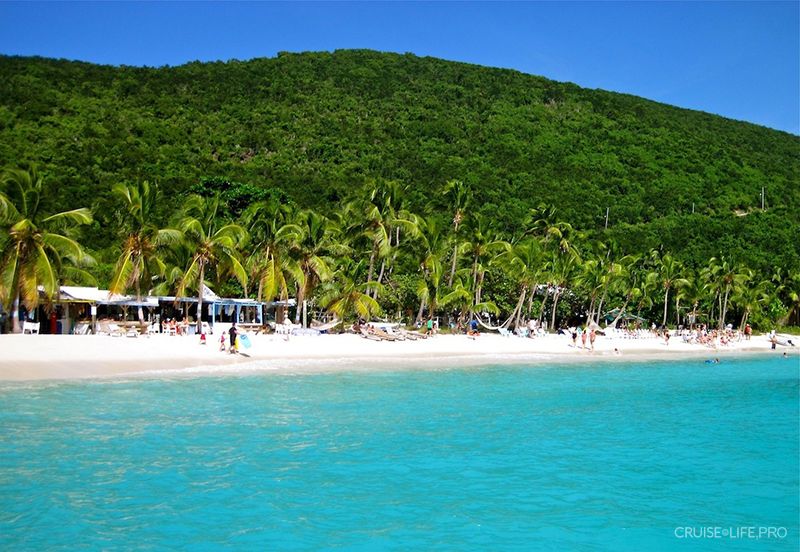
The island’s main settlement - Great Harbour consists of picturesque wooden buildings standing on the shore of a beautiful bay enclosed by mountains with sandy beaches, which begin practically from the threshold of the few houses.
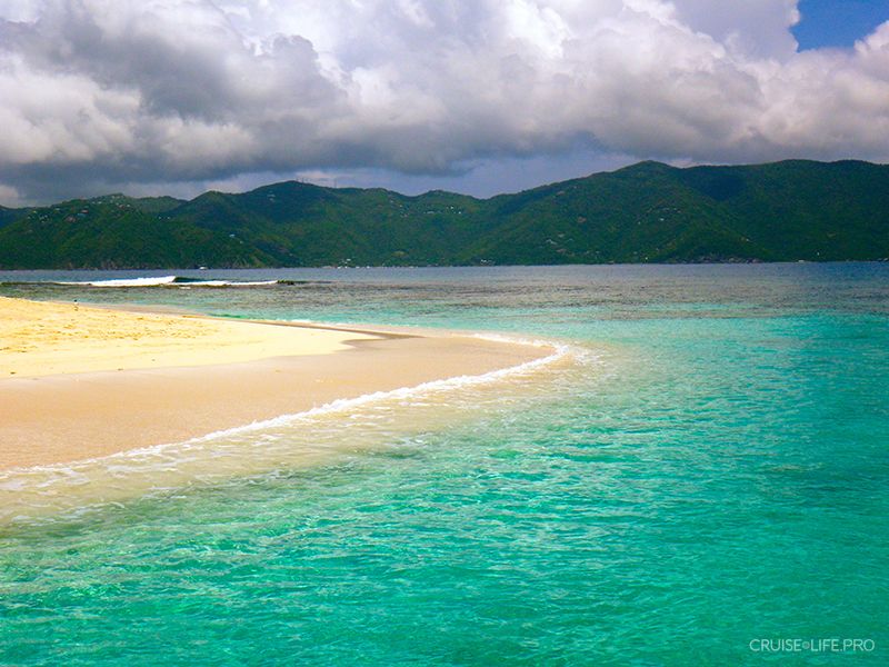
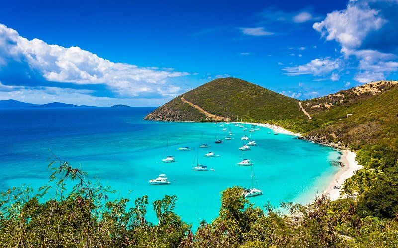
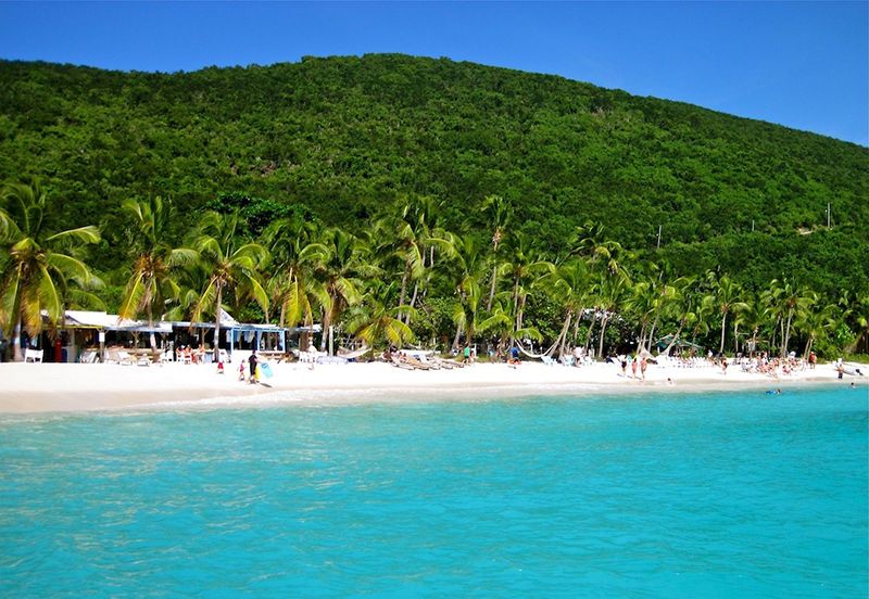
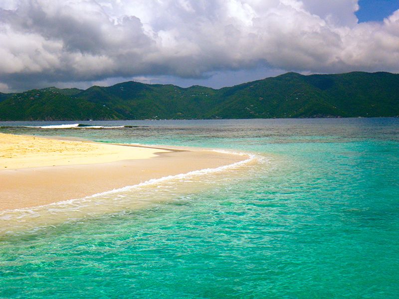
A little farther to the west is located the White Bay beach, considered the best beach on the island and one of the 10 best in the region. Also great are the shores of the tiny Sandy Reef island on the south-eastern coast of Jost Van Dyke and the secluded Sandy Spit Beach.
ClimateTropical maritime, trade-wind, warm and very even. The average monthly temperature throughout the year varies slightly - from +22-24 C in winter to +28-29 C in summer. Day-to-day temperature changes are also noticeable only slightly.
Precipitation amounts to up to 1300 mm per year, and the area has two dry (winter and summer) and two rainy (spring and autumn) seasons. The maximum amount of rain falls during the period from September to November-December, although even then rainy days are no more than five or six days per month. Between July and October, there is a high chance of tropical hurricanes passing over the territory of the islands, though here they are recorded significantly less frequently than over the nearby Leeward Islands.
-
-
-
-
-