

Port of call
Santo Tomás de Castilla, Guatemala
Description — Santo Tomás de Castilla, Guatemala
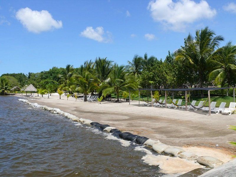
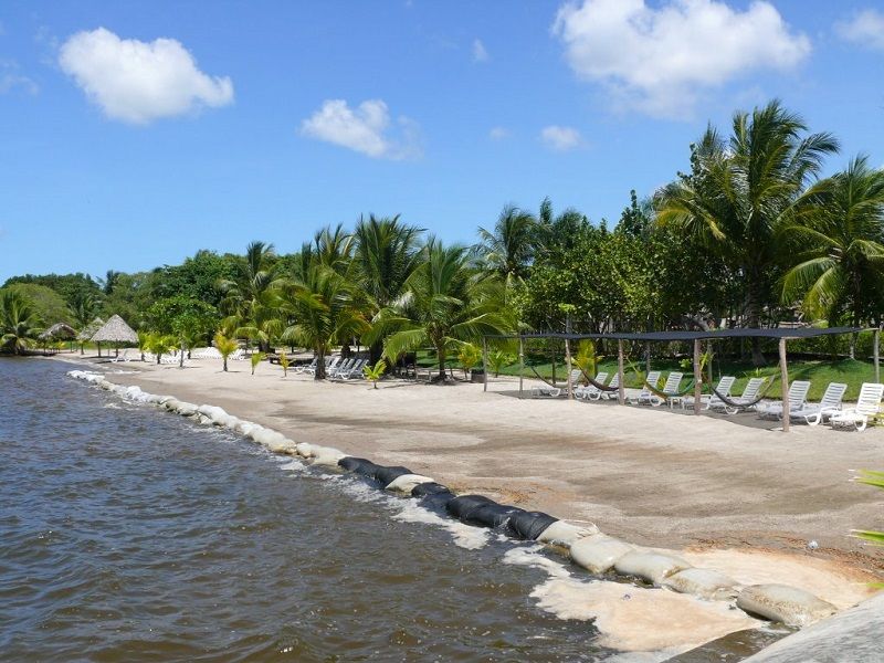
Santo Tomás de Castilla, also known as Matías de Gálvez, is a port city in the department of Izabal, Guatemala. The port is located in the Bay of Amatique and administratively is part of the larger port city of Puerto Barrios, Guatemala’s main port on the Caribbean Sea. The more modern port of Santo Tomás de Castilla was built after Puerto Barrios was badly damaged during the 1976 earthquake.
The department of Izabal borders Belize to the north, Honduras to the east, the Guatemalan departments of Petén to the northwest, Alta Verapaz to the west, and Zacapa to the south. To the northeast of Izabal is the Bay of Honduras. Puerto Barrios is the administrative center of the department.
Within the territory of the department is Lake Izabal - the largest lake in Guatemala - as well as the ruins of the Maya civilization of Quiriguá, a UNESCO World Heritage site.
Guatemala is the most populous of the Central American republics. It is washed by the Caribbean Sea to the east and the Pacific Ocean to the southwest. More than half of Guatemala’s territory belongs to the mountain range of the Cordillera, represented by the volcanic highlands of the Sierra Madre, with the highest peak in Central America - the Tajumulco volcano. There are 33 volcanoes in the country, 3 of which still pose a threat. It borders El Salvador to the south, Honduras to the southeast, Belize to the northeast, and Mexico to the northwest.
ClimateThe climate in the region is tropical; the average annual temperature is +23... +27° on the coast and in the lowlands, and +15... +20° on the plateau. Summer (November-April) and winter (from May to October) differ only in precipitation amount and nighttime temperatures, which in December-January drop to −10° in the mountains and to 0° on the plateau.
The concepts of “summer” and “winter” here are conditional and refer, respectively, to the dry season and the rainy season. The hottest months are February to May. During the winter period (from May to October), hurricanes and flooding occur due to heavy rainfall. The most significant events took place in 1998 (Hurricane Mitch) and in 2005 (Stan), in which much of the country was affected by flooding and winds. On average, 1300 mm of precipitation falls.
-
-
-
-
-
-
-
-
-
Location on the map
Sights
What to see
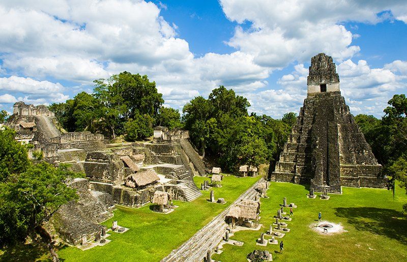
Tikal National Park
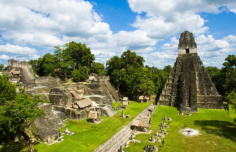
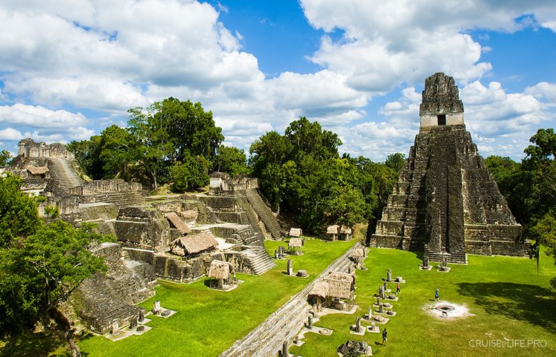
One of the most significant architectural monuments of the Maya that has survived to the present day is the ancient city of Tikal. The city was the capital of the Mutul kingdom, one of the most powerful Maya states. Thousands of archaeological sites are located within the city. To date, about three thousand objects have been discovered and described, and more than ten thousand still need to be studied. The greatest interest is in six large pyramids with temples on their summits, dating back to the 7th-8th centuries. In addition to their traditional roman-numeral designations, these temples were given romantic names-the Temple of the Jaguar and the Temple of the Mask, the Temple of the Two-Headed Serpent, and the Temple of Inscriptions. Tikal is also known for its carved inscriptions and ornaments, as well as its multicolored pottery. In the park, extensive efforts are also underway to preserve rare and endangered wild species, such as ocelots, peccaries, and of course, jaguars.
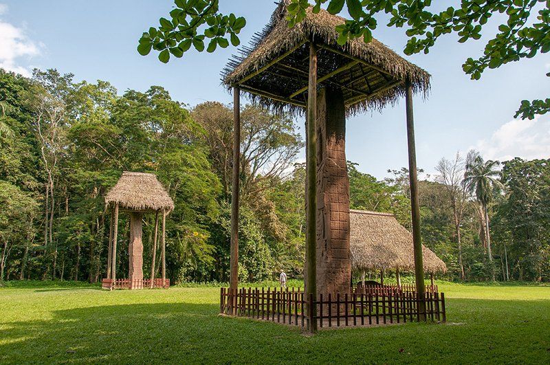
Kirigüa Archaeological Park
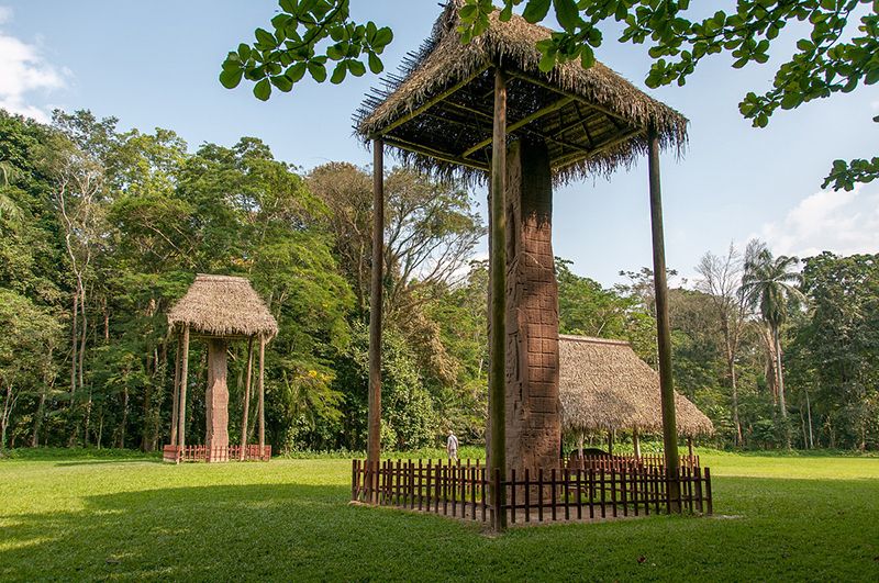
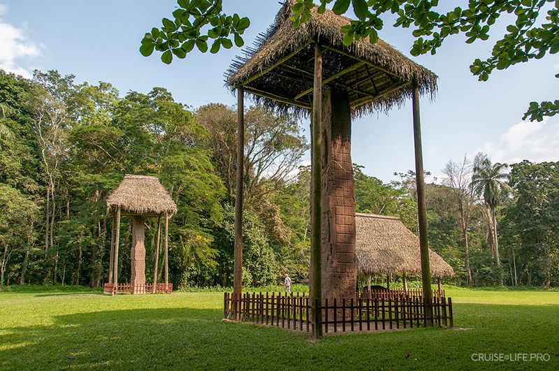
The ancient city of Quiriguá emerged in the 2nd century AD. During the reign of Kʼawak Si (723-784), it became the capital of an independent state. Among the ruins of Quiriguá are outstanding monuments from the 8th century, as well as carved stelae and sculptural calendars-an invaluable source of information about the ancient Maya civilization. Here you can see 22 monuments, the so-called stelae, among which the Maya stela can be highlighted-the highest of the sculptures of the ancient civilization that have been found. A grim face of an unknown man is carved into the stela. You can also see carved animals with human faces-depicting the gods-on monolithic four-sided stelae weighing up to 65 tons, crafted without the help of iron tools.
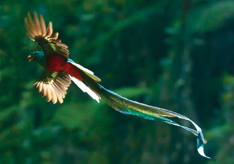
Ketzal Biosphere Park
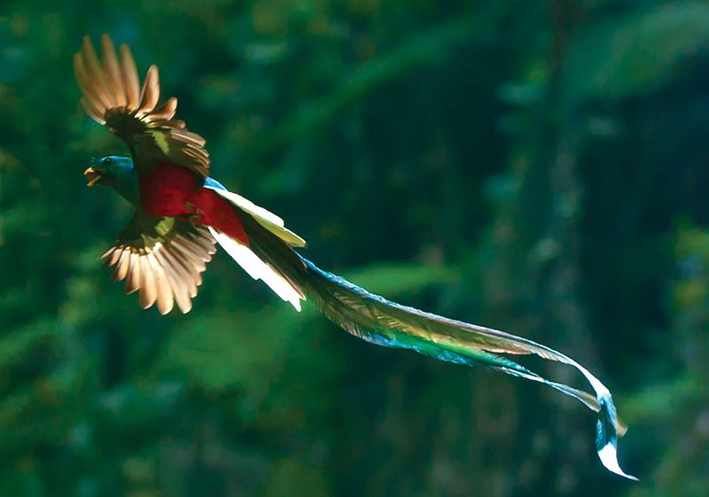
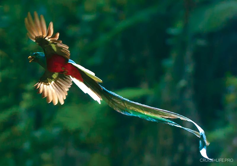
Quetzal is a sacred bird of the ancient Maya and one of the symbols of modern-day Guatemala. With the aim of preserving the quetzal, a special biosphere park was established on a thousand-hectare area of tropical forest. The first thing to pay attention to when visiting the park is a small orchid nursery, where more than 70 species of orchids grow within Guatemala. At the information center, you can pick up a brochure with a map of the park and a list of 87 species of birds that can be found here. In addition to birds, you may encounter spider monkeys and ocelots. There are two hiking trails throughout the park-the Fern Path (about 2 km) and the Moss Path (about 4 km). Along both trails, you can see many small picturesque waterfalls, and if you’re lucky, you may even spot the quetzal itself.
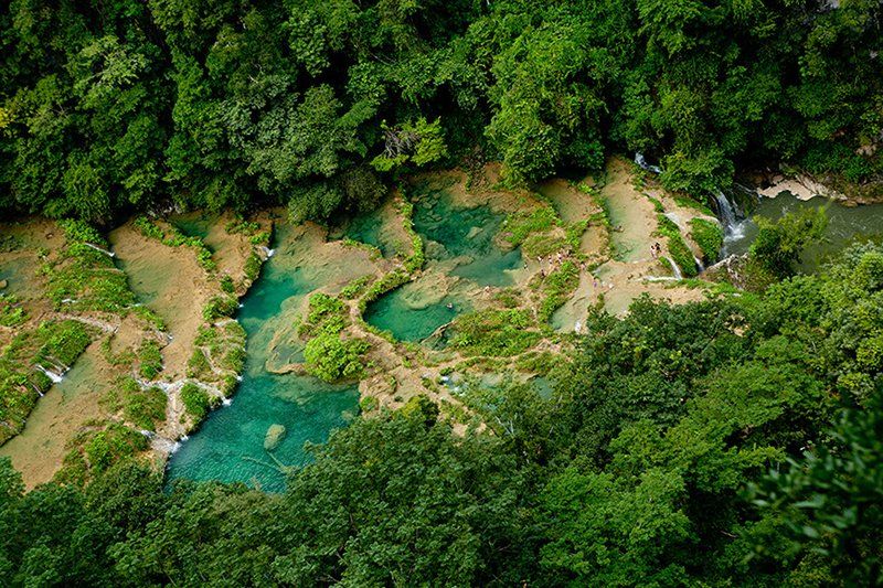
Semuc Champey Waterfalls
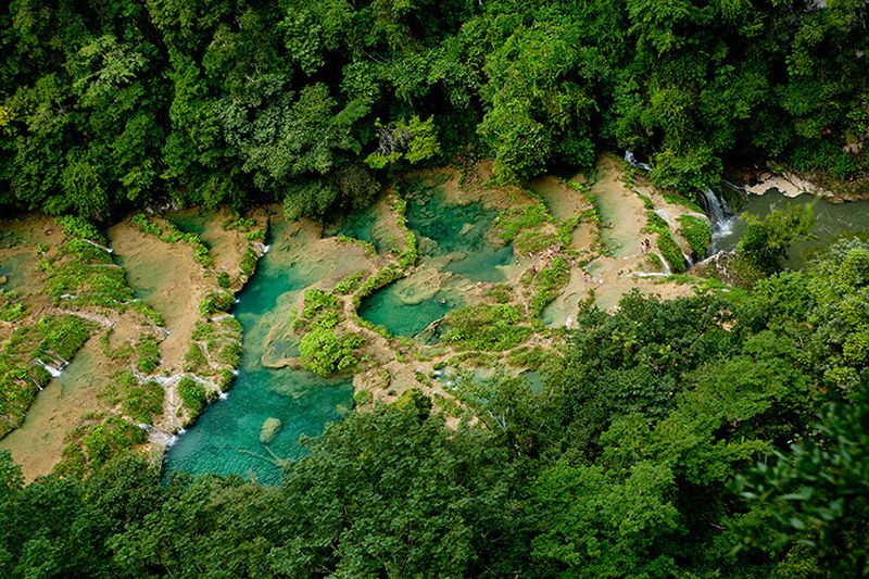
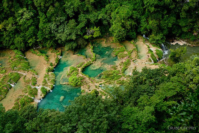
Semuc Champey is often called one of the most beautiful places in Guatemala. The name Semuc Champey was given to this place by the Kekchi Indians; it means “the place where the river goes underground.” Here, the fast-flowing Cahabón River has carved through a soft layer of limestone located beneath a harder rock stratum. It runs under this natural bridge, leaving on the surface a leisurely turquoise stream that flows from pool to pool through countless low cascades. There are three tourist routes to Semuc Champey. The most challenging, yet also the most beautiful, is called El Mirador. After strolling along the lovely natural basins and swimming in their clear water, you will see a large waterfall at the point where the Cahabón River comes back up to the surface.
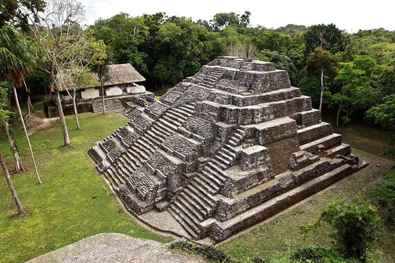
Yashha National Park
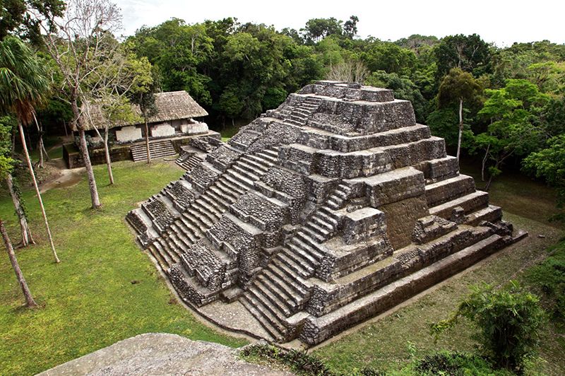
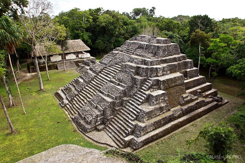
Yashka is the second-largest area in the country where Maya architectural monuments have been preserved. Yashka has retained its original name, which translates from the Maya language as “Green Water”. It was inhabited for 16 centuries, from 600 BC to 900 AD. More than 500 structures were discovered on the territory of the park, including 40 stelae, 13 altars, 9 pyramids, and a network of sacbe (sacred roads). The greatest interest lies in the Royal Palace, consisting of a complex of buildings; the unique Twin Pyramid Complex; the North and East Acropolises; the Astronomical complex; two ballcourts for the ball game; and the Square of Shadows. All these structures are connected to one another by a system of roads and paved sidewalks.
Recommended excursions
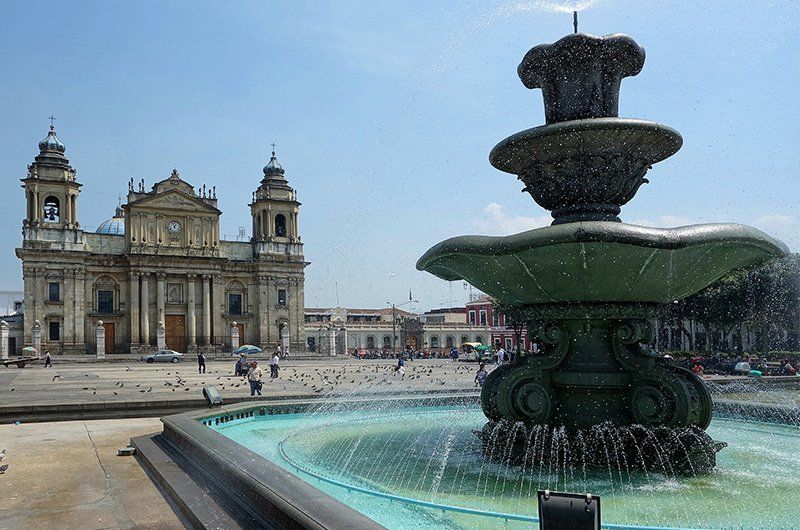
Excursion in Guatemala City
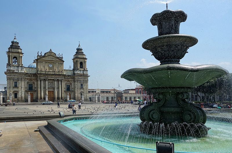
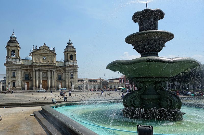
A walk through Guatemala City - the commercial and cultural center, where colonial culture is combined with modern buildings. The excursion includes: a visit to the central park and the central square, where the city’s main buildings are located: the National Palace, the Cathedral, and the main shopping center, where you can buy souvenirs and works by local craftsmen.
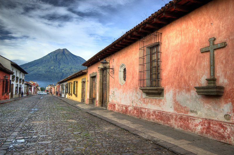
Excursion in Antigua
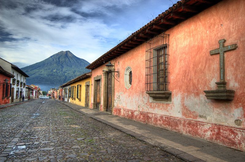
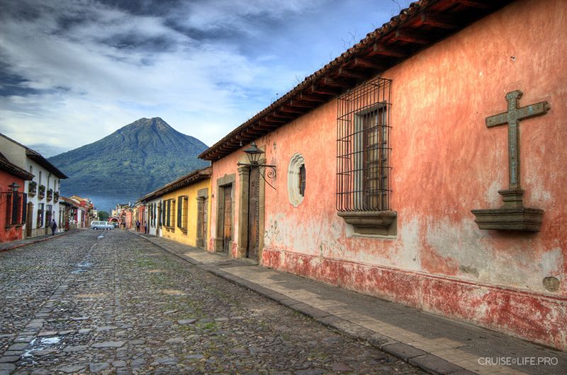
A trip to Antigua - the colonial-period capital of Guatemala, and today a museum city, will let you immerse yourself in the past thanks to many monuments of colonial architecture, such as the Palacio de los Capitanes Generales, the Town Hall, the Museum of Old Books, and the Santiago Museum. The excursions include visits to the Central Square, the Metropolitan Cathedral, the Church of Nuestra Señora de la Merced, the Church of Saint Francis, a jade workshop, and a coffee plantation.
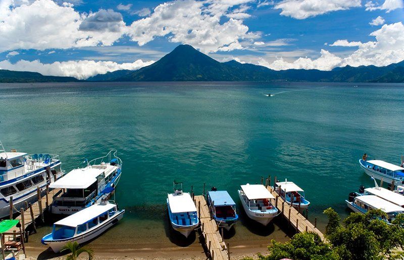
Lake Atitlán
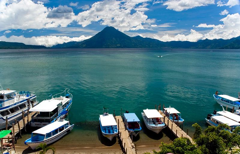
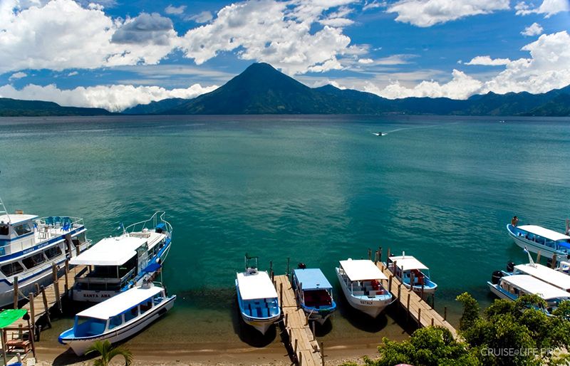
The lake, located at an altitude of more than 3000 m above sea level, was formed about 100,000 years ago during a volcanic eruption that destroyed all living things in the territory of present-day Guatemala. The culture of the lake dwellers, who had been living on the shores of the lake since time immemorial, differed from the traditions and customs of the other Indigenous peoples of the country. Traders arrived at Atitlán from the surrounding regions, as did the Kaqchikels and the Tz’utujils. For sale, gold and precious stones were offered, as well as honey and pepper, ropes made from agave fiber, rubber and leather, sacred copal wood. The local residents were known for their warlike temperament. The people of Atitlán especially revered Cabracán-the goddess of earthquakes, who could uproot forests, lift cities into the air, and strike fire to set the land ablaze.
You can find a more detailed list of excursions and their prices after booking your cruise in your “Client Personal Account”.