Port of call
Saint John, Virgin Islands
Description — Saint John, Virgin Islands
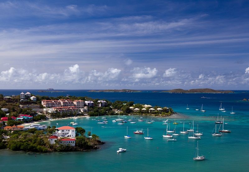
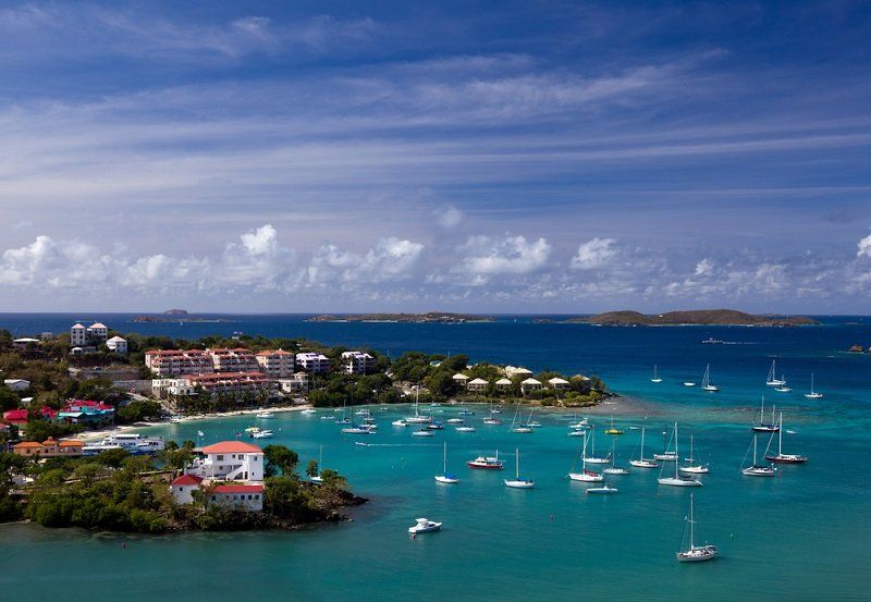
St. John is an island in the Caribbean Sea, part of the U.S. Virgin Islands. It is the smallest and the richest of the territory’s islands. It is located 6.4 km from St. Thomas, the main island of the territory, as well as 6.4 km from Tortola, part of the British Virgin Islands. The area of St. John is 50.79 km²; the 2010 census population was 4,170. The largest settlement on the island is Cruz Bay, home to 2,706 people.
The island, like the other Virgin Islands, was discovered by Columbus during his second voyage to America in 1493. The first European settlements on the island belonged to the Danish West Indies Company; before that, the island was used by pirates. After Denmark abolished slavery, the islands gradually fell into decline. Together with the neighboring islands, St. John was purchased by the United States in 1917, and in 1956 the national park was established. Under the park’s protection is 75% of the island’s territory, where commercial development is prohibited, except for the Caneel Bay resort.
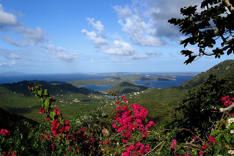
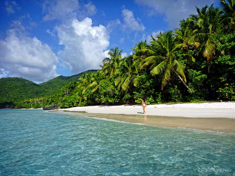
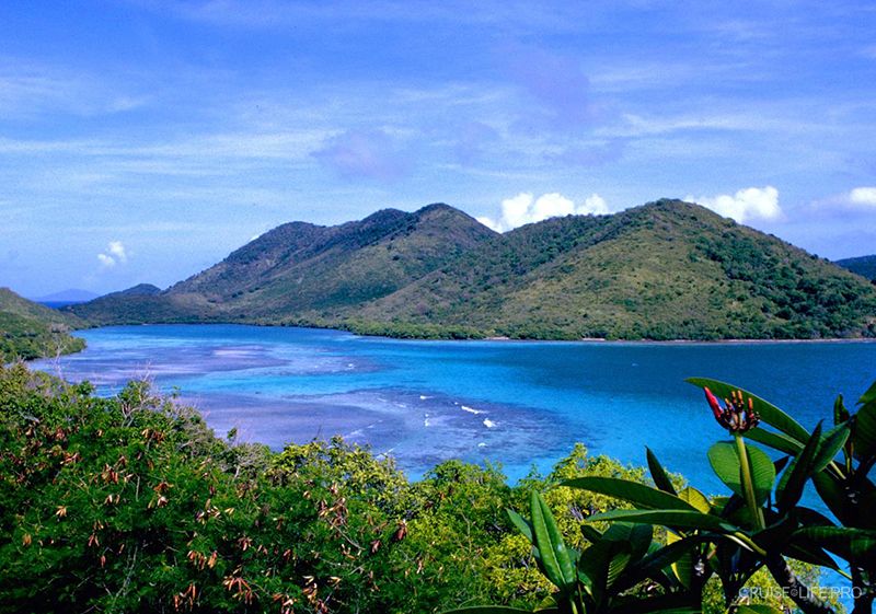
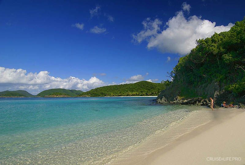
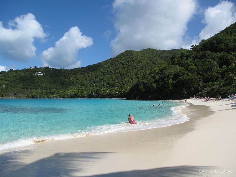
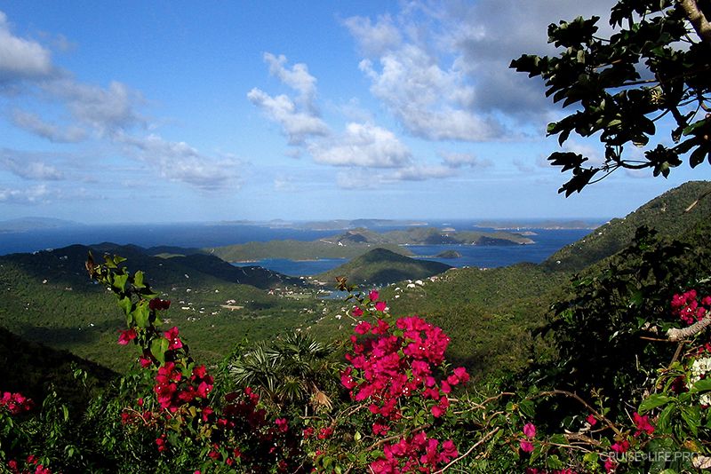
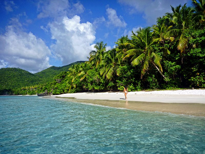
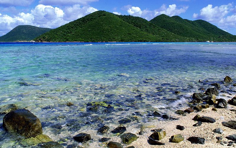
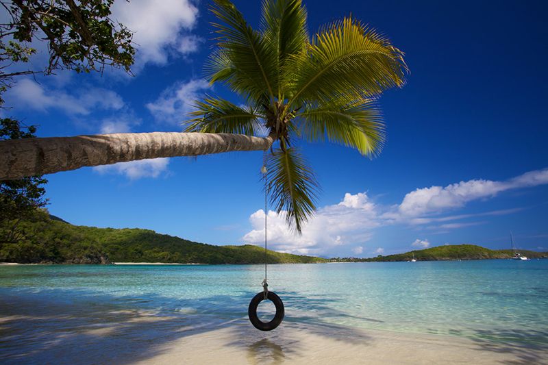
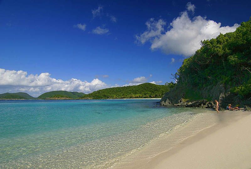
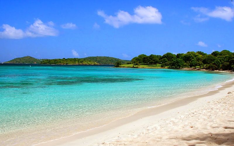
St. John Island is the oldest of all the islands. The peak of an underwater volcano rises from the water to form Mount Camelberg Peak, standing 364 meters high, and its slopes create numerous headlands and bays. The island’s beaches attract nature lovers with their white sand, while the coral reefs and rich underwater world are excellent places for diving.
The island’s main attraction is the Virgin Islands National Park, densely covered with tropical forest. The best excursion on the island is the Bordeaux Mountain Trail, offering magnificent views of the island and allowing you to learn about partially restored ruins of an 18th-century sugar factory.
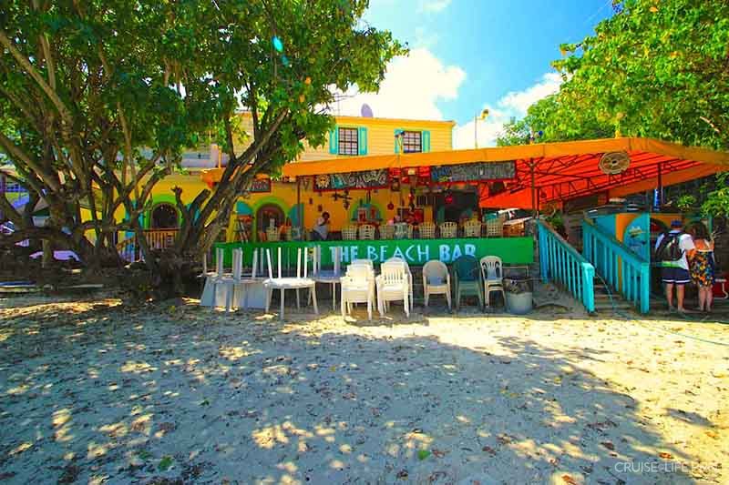
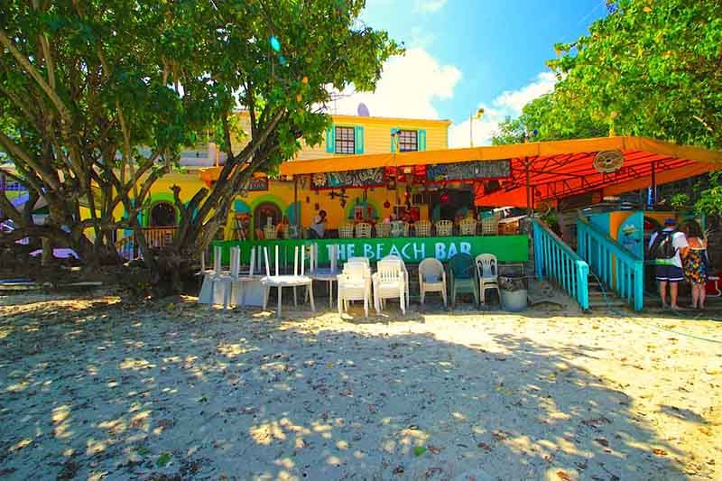
The best restaurants, bars, and other nightlife venues are concentrated in the island’s main town, Cruz Bay.
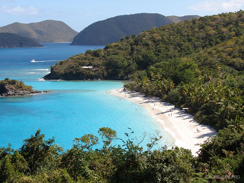
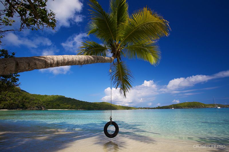
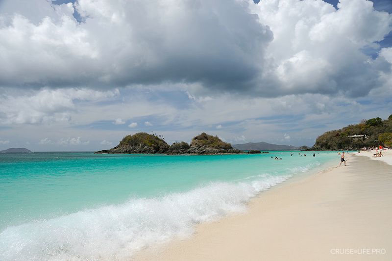
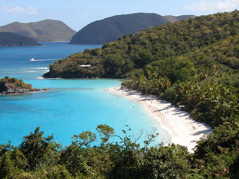
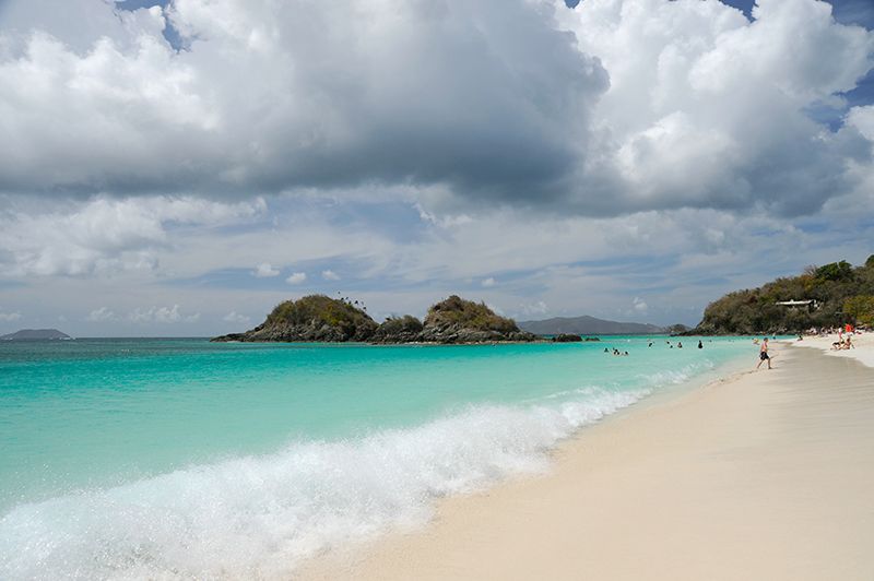
A beautiful Trunk Bay is located in the northern part of St. John Island. The beach of the same name is the only beach on the island for which an entry fee is charged, as its territory is part of the national park. Trunk Bay Beach is considered the most picturesque beach on the Caribbean coast.
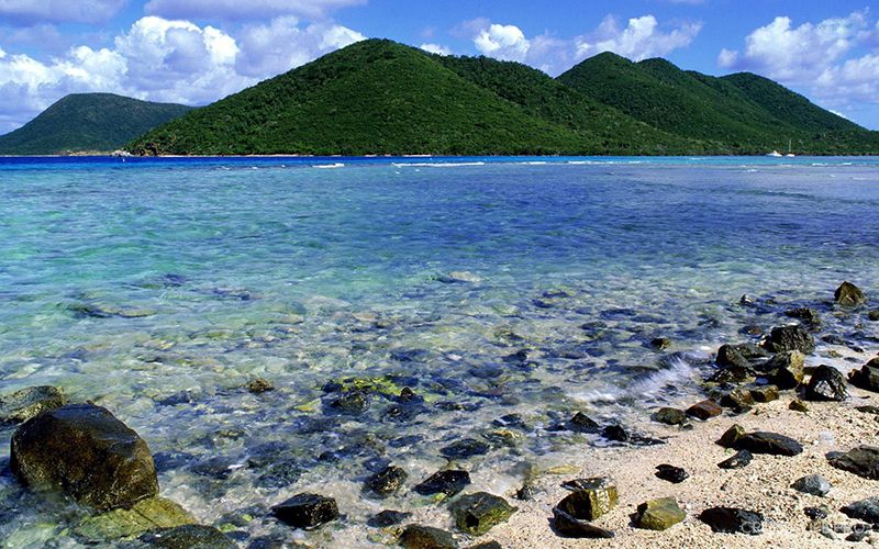
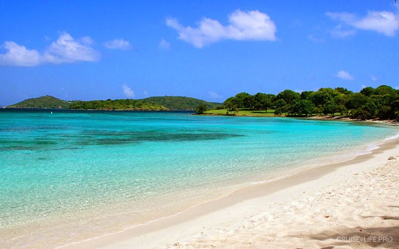
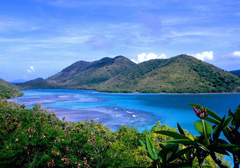
Laingster Bay Beach consists of a mixture of coral rubble and sand, but there are several sandy areas for entering the water. The bay’s waters are clean enough, and the depth increases gradually. Along the shoreline, mangrove trees grow, providing easy shade during sunny daytime. Here lies the Watermelon coral reef, offering excellent conditions for snorkeling.
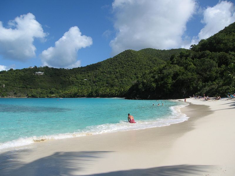
Hawksnest Beach is the most popular beach with local residents. Within walking distance from the beach there is a spacious parking area; you can rent a pavilion for a corporate outing or a family celebration, and there are separate barbecue and picnic spots.
ClimateThe rainiest months are October and November. The driest are February and March. Hurricanes may occur in August-September. The best time to travel is January through April. For swimming with a mask, early summer is more suitable-in this period there are practically no storms. The average temperature changes only slightly throughout the year: in summer 24–29° C, in winter 28–30° C.
-
-
-
-
-
-
-
-
-
-
-
-
-