Catrice, St. Lucia

Port of call

Catrice, St. Lucia

Description — Catrice, St. Lucia

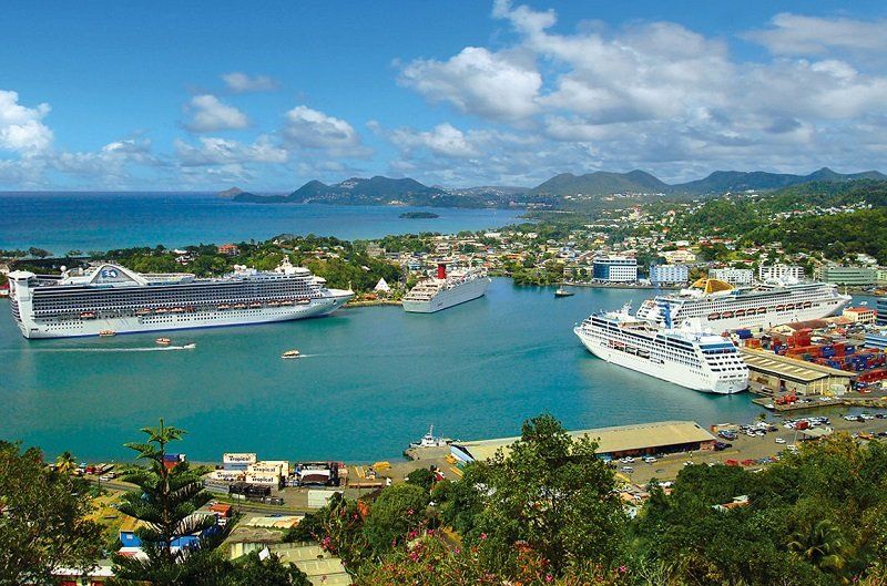
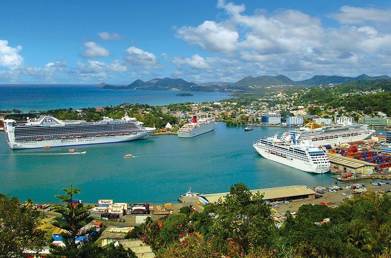
Castries (Castries) is the capital of the state of Saint Lucia and its main economic center. It is located on the north-western coast of the island, at the boundary between the Port Castries Bay and the Vigie Peninsula. Nearly one third of the island’s entire population lives here, almost 80% of the country’s foreign trade turnover passes through, and the largest enterprises and organizations are located here. Population 60,200 (2003).

Castries was founded in the early 19th century by the British. Since 1814, the city has been within the colonial possessions of the United Kingdom. The bulk of the population of this tiny town consisted of Africans-Black slaves brought here to work on sugarcane plantations. In 1834, slavery on the island was abolished. In 1979, after the declaration of independence of Saint Lucia, Castries was proclaimed the capital of the state.

A visit to the city’s craft market is of great interest to tourists coming to Castries, where lively trade in goods made by local craftsmen takes place. However, the main goal of foreign tourists heading to the capital of Saint Lucia is to get acquainted with the picturesque exotic nature, customs, and traditions of the local Creole population.

Saint Lucia is an island in the Windward Islands of the West Indies between the islands of Saint Vincent and Martinique. The island is washed to the north by the Saint Lucia Channel and to the south by the Saint Vincent Channel, which connect the Caribbean Sea with the waters of the Atlantic Ocean. The area is 616 km². The island is part of the Lesser Antilles archipelago. Saint Lucia has volcanic origins, which is why it is more mountainous than most other islands of the Caribbean. Essentially, it is the summit of an ancient volcanic group whose cones form the main mountain peaks of the country.

Climate

The climate is tropical trade-wind; sea breezes temper the heat. Average monthly temperatures are 18–26 °C, with rainfall from 1500 to 3000 mm per year. The dry season is from January to April; the rainy season is from May to August. At any time of year, strong but short-lived downpours may occur, usually toward the end of the day.


Location on the map

Sights

Immaculate Conception Cathedral

Immaculate Conception Cathedral

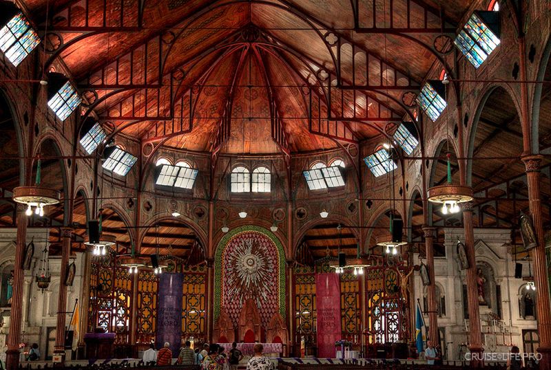
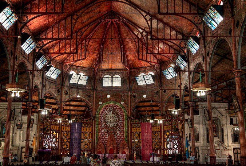
The construction of the building, recognized as the largest on the island, took almost a full century-from 1834 to 1931. Perhaps that is why the Immaculate Conception Cathedral is known for its original interior, with elements that seem to float, impressive carved panels, vibrant stained-glass windows, and skillful frescoes created by the author of the national flag of Saint Lucia, Dunstan St. Omer. It’s interesting to know that in 1999 the Immaculate Conception Cathedral was granted the status of a basilica, since this is where the seat of the Archbishop of the Roman Catholic Church in the city of Castries is located. But the islanders still prefer to call it the Immaculate Conception Cathedral.

What to see

Vigi Beach

Vigi Beach

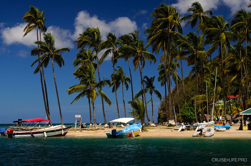
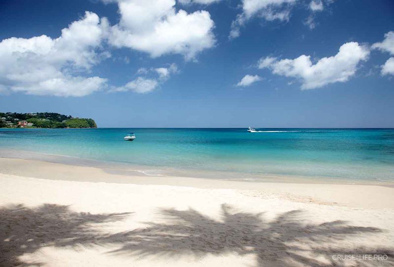
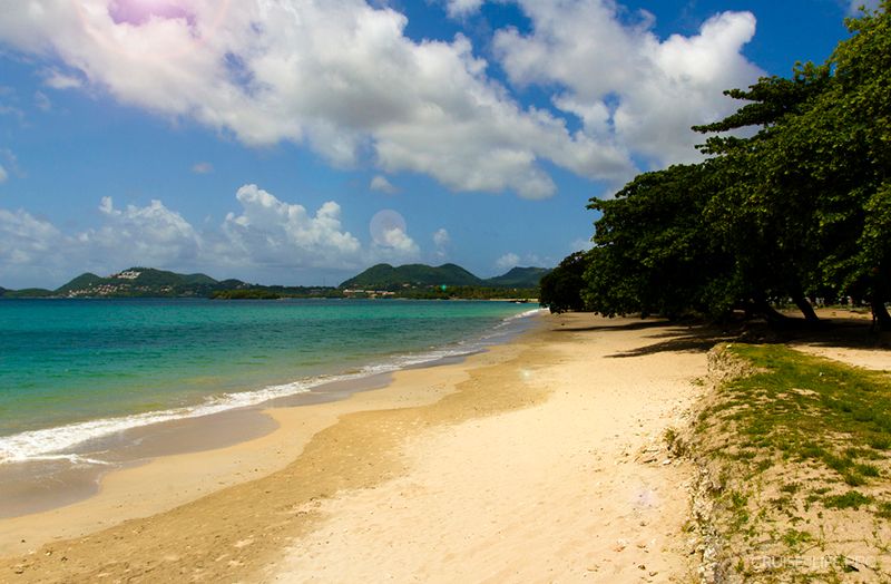
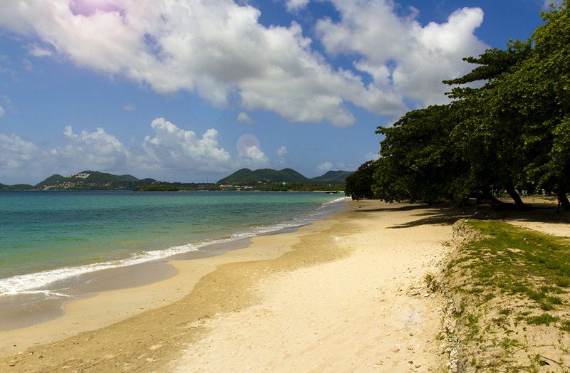
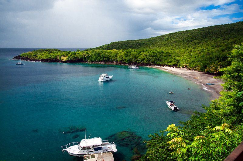
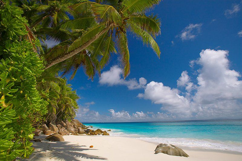
Vigie Beach has long become the island state’s main calling card. This stunning spot with white as snow sand is located just two kilometers north of Castries. All beaches, including Vigie, in Saint Lucia are municipal and offer free access. Here topless sunbathing is prohibited, but you can enjoy the picturesque panorama for as long as you like and watch numerous ships tirelessly crisscross the Caribbean Sea. The uniqueness of Vigie Beach also lies in its natural setting near the bay, which means the water is always remarkably calm and peaceful, with no waves.

Rainforest National Park

Rainforest National Park

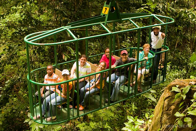
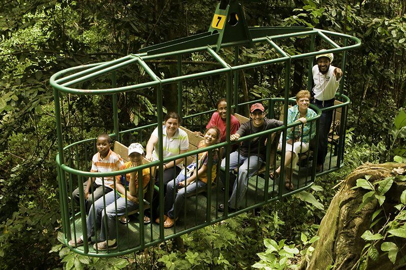
The Rainforest National Park covers the foothills of the local Mount Morn-Gimy, which is the highest point in the country. About 300 plant species grow within the park, including orchids, ferns, “birds of paradise” bushes, palms, and other remarkable plant varieties. You can also see the exotic anthurium flower, which is also called the “tail flower” for its striking appearance resembling a tail. The park’s fauna is represented by a group of reptiles, among which the ground lizard stands out, as well as mammals, among which rodents predominate. Among the birds, the Amazonian iridescent parrots are especially noteworthy. The national park attracts tourists with its evergreen forests and beautiful views.

Sulfur Springs of La Soufrière

Sulfur Springs of La Soufrière

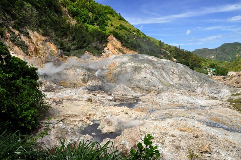
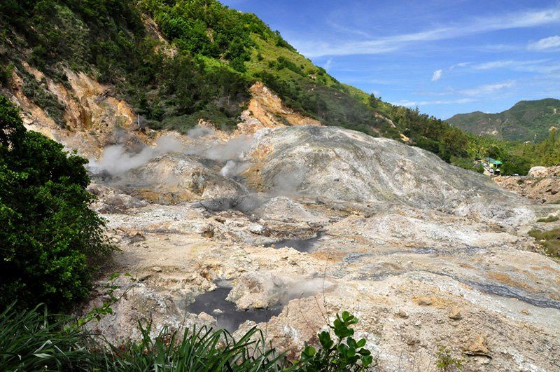
La Soufrière is a set of sulfur springs located in the vicinity of the ancient volcano Piton, which erupts mineralized water and superheated steam. The road to the springs goes right through the volcano’s crater, which releases steam and sulfur along with boiling mud. You can not only admire the springs here. There are mud baths, which are very popular with tourists. The water in the pools contains mineral substances of volcanic origin and has healing properties that have a beneficial effect on the skin.

Pigeon Island National Park

Pigeon Island National Park

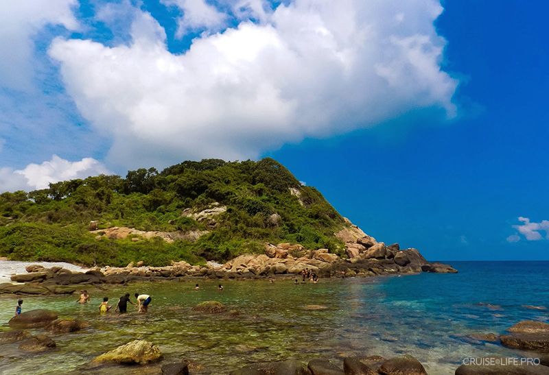
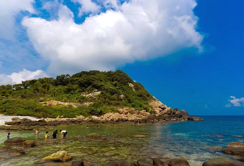
Pigeon Island National Park appeared on the island of Saint Lucia in 1979. The park is famous for its rich flora and birdlife, which includes such important species as Ramiers’ pigeons, orioles, frigatebirds, herons and other feathered residents. In the 16th century, this island was a haven for pirates, and two centuries later the British admiral George Rodney arrived here, fortifying the island and creating a fort on it. In 1970, a sandy causeway was built connecting Gros Islet and Pigeon Island, thus turning the island into a peninsula. Today, the historic park includes the ruins of the fort, barracks and rusty cannons. Beyond the fort there is a magnificent beach with the softest sand. There is also a good museum here, which reveals the history of the peninsula.

Pitons Volcanoes

Pitons Volcanoes

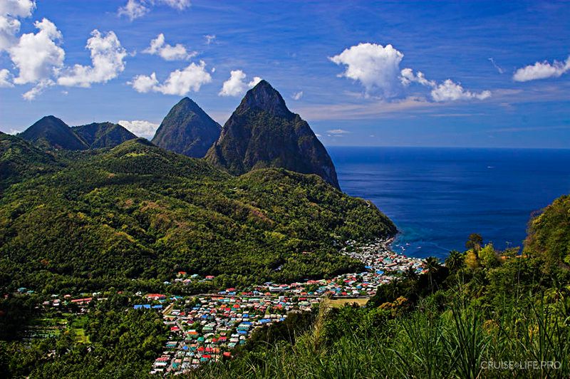
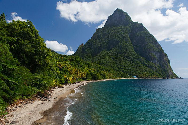
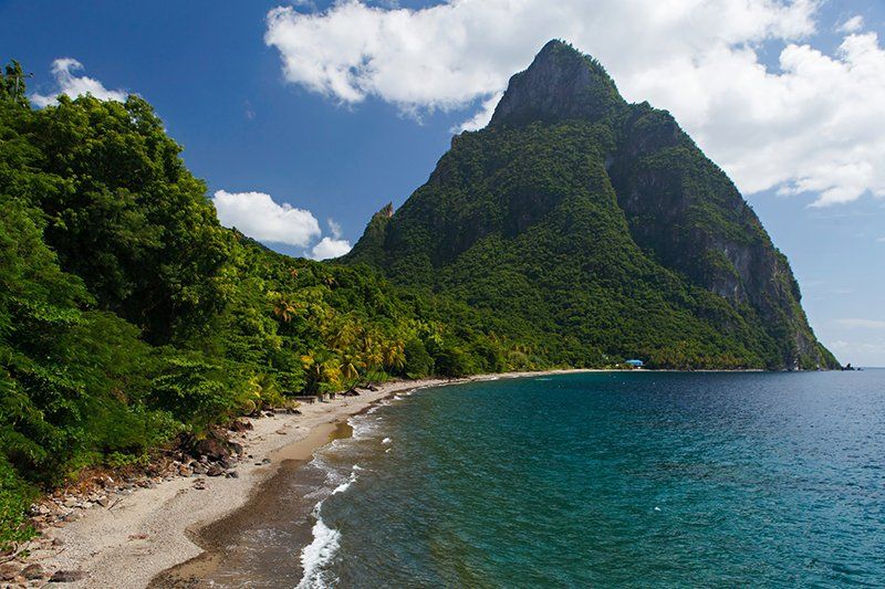
The main natural landmark of the country, listed by UNESCO, offers an excellent opportunity to trace the entire history of volcanic activity in Saint Lucia. From the ancient volcanic system that stirred up the West Indies 40,000 years ago, only a couple of dormant vents remain-connected by a ridge and visible even from Martinique. To climb to the Pitons’ summits, which offer a great panorama of Saint Lucia, you don’t need professional equipment: all you need is a good mood and decent physical fitness. A walk through the foothills of the volcanic peaks is just as fascinating. Deep in tropical forests filled with unique plants, craters and frozen rivers of lava are hidden away. Near the slopes of the volcanoes, you’ll find excellent beaches.

Recommended excursions

Island Sightseeing Tour

Island Sightseeing Tour

During the excursion, you’ll explore banana plantations, be amazed by the grandeur of the Piton Hills, visit healing hot springs that gush up from the ground, and see smoking volcanoes. You’ll swim under the streams of the crystal-clear waterfall water and find yourself in a true paradise on the Jalousie Beach, where you can relax, sunbathe, and swim at your pleasure, including with a snorkel and mask. These and many other adventures await you on an unforgettable tour of the captivatingly beautiful island of Saint Lucia.

Frigget Island Nature Reserve

Frigget Island Nature Reserve

The reserve is known as a nesting site for countless birds. The most remarkable bird species are frigates due to their appearance. Males have enormous inflatable red throat pouches with a diameter of about 25 cm. The females, meanwhile, have a white throat. Frigates spend all their time in the air, holding their wings still for long periods. Frigates cannot swim and they stay on the water with difficulty, so they nest in tall trees. The reserve also attracts great interest for its reptiles, including the boa constrictor and a fairly venomous pit viper, the “fer-de-lance.” Boas can reach 3-4 meters in length, but females are larger than males. Boas live near bodies of water, while vipers settle in the jungles.

For a more detailed list of excursions and their prices, you can view it after booking your cruise in your “Client Personal Account”.