

Port of call
Carioca, Grenada
Description — Carioca, Grenada
Carriacou - an island that is part of the Grenadines archipelago (Lesser Antilles), located in the southeastern part of the Caribbean Sea, to the northeast of Grenada. It is part of the special territory of Carriacou and Petite Martinique of the state of Grenada. The island’s name comes from the Indian name of the first settlement of their people, Kerouaka, which in their language translates as “Land of Reefs”. This is the largest island of the archipelago; its area is 34 sq. km. The island is surrounded by reefs.
Some 6,081 people live on the island (2001). The largest settlement by population and size on the island of Carriacou is its administrative center-a port town, Hillsborough, located on the west coast of the island and home to approximately three thousand residents. The island’s main source of income is the tourism industry.
Carriacou Island has a fairly complex shape, with a coastline that, along its length, forms quite a number of bays, coves, and protruding peninsulas extending into the sea. Carriacou’s terrain is mountainous in its central part, while along the coast gentle areas prevail, with sandy beaches.
ClimateThe island’s climate is tropical, trade-wind. Average monthly temperatures range from +25 °C to +28 °C throughout the year. Precipitation on the coast exceeds 1500 mm per year; on the mountain slopes, it can reach up to 3500 mm, with the maximum occurring during the period from June to November, when rains fall-on average, 22 days per month (in the dry season, from January to April-May, rain falls about 12 days per month). Hurricanes passing over the island from July to October are fairly frequent.
-
-
-
-
-
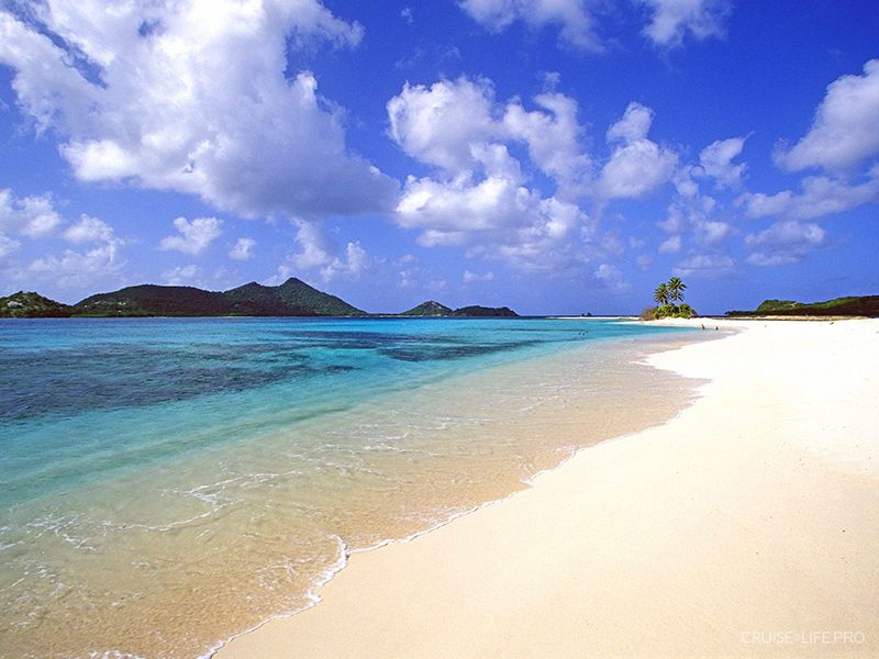
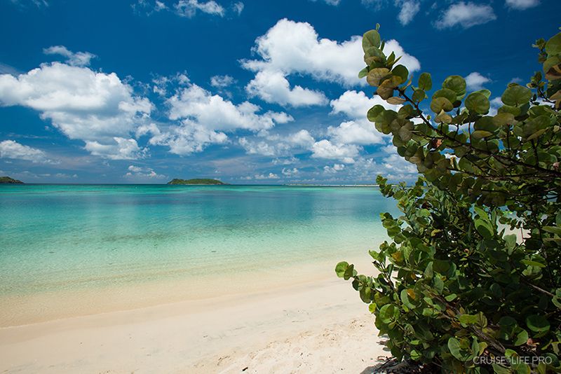
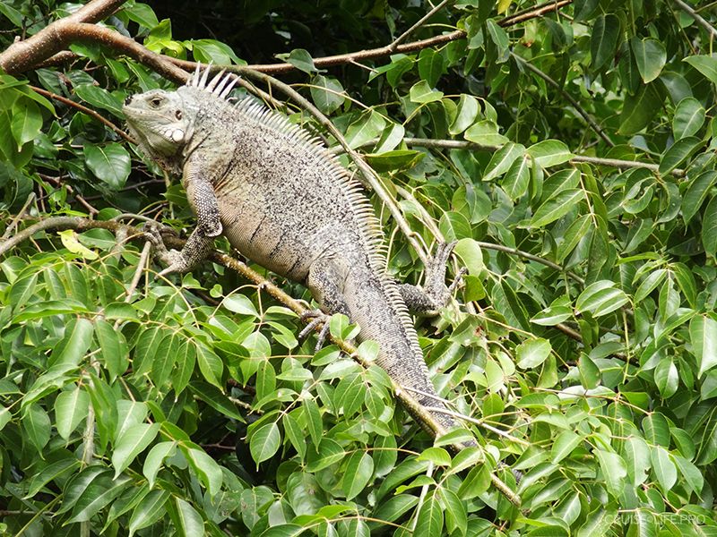
Location on the map
Sights
What to see
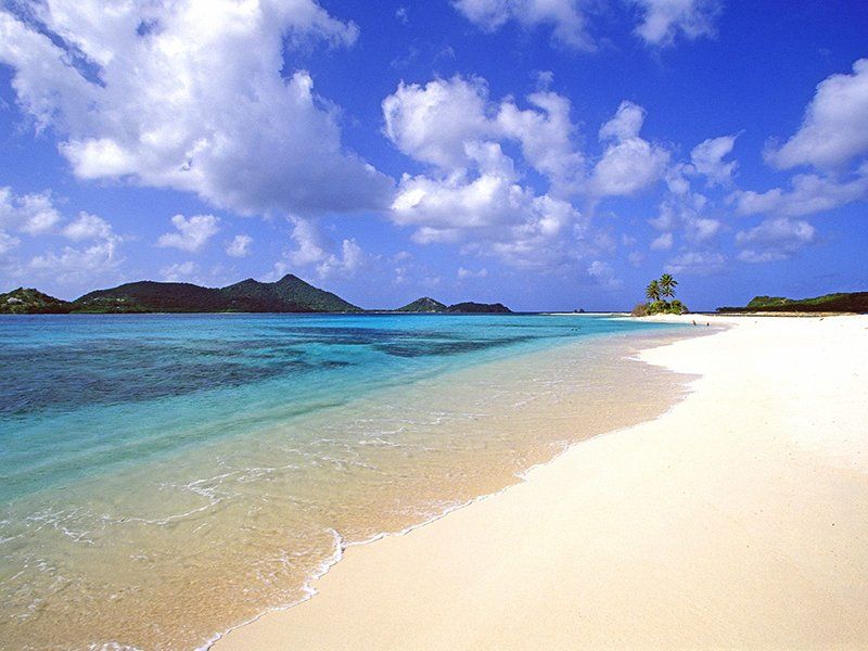
Beach coastline of the island
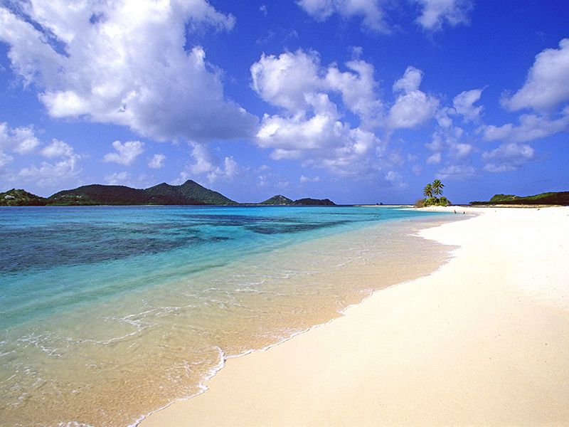
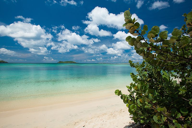
Along the entire coastline of the island of Carriacou, endless sandy beaches stretch out. The coastal waters around the island are always clean and clear, as there are no rivers or lakes on Carriacou. The sand on the beaches offers the broadest range, from pure white volcanic to with reddish tones with specks of small coral rubble. The beaches on the island are largely equipped with everything needed for a comfortable holiday, as beach infrastructure began developing here back in the late 1990s of the last century.
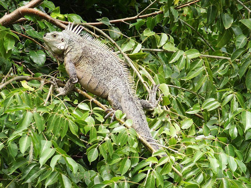
Belair National Park
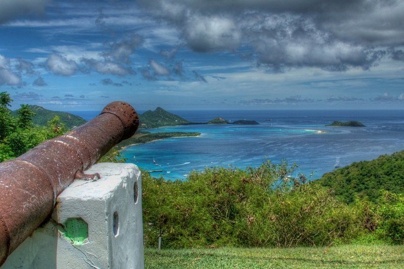
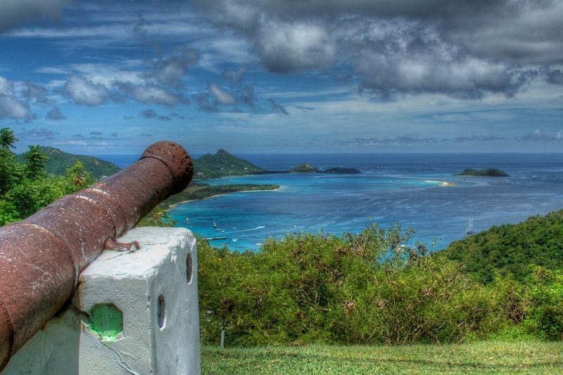
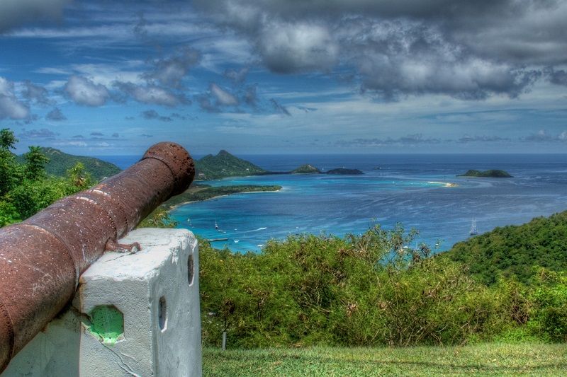
Belair National Park is used to host vibrant festivals: Parang and the Maroon Cultural Festival. The park was formed around the island’s highest point-the 215-meter Belair Hill, from which a wonderful panorama of the straits between the islands of Carriacou, Grenada and Sandy Island can be seen. Around the hill, numerous ruins of old French and British plantations are scattered, almost entirely hidden by stands of white everlasting, as well as beautifully preserved old mills. The park features lovely hiking trails.
Recommended excursions
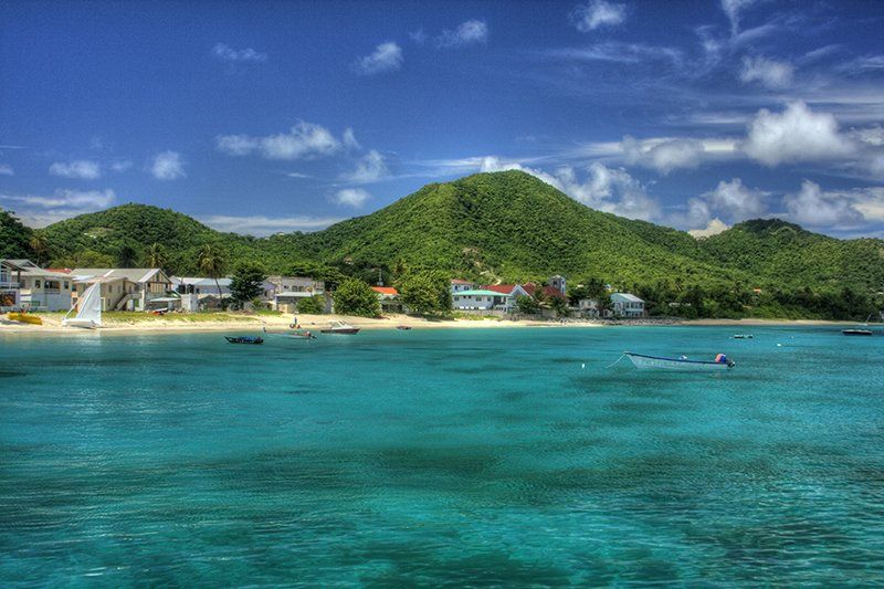
Hillsboro City Tour
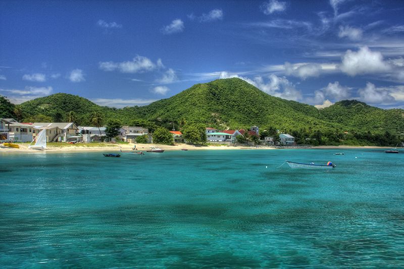
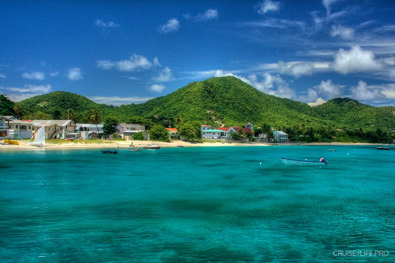
The administrative and commercial center of the island, Hillsboro, is a tiny town spread along the shore of a beautiful bay. Hillsboro stretches along the nondescript Main Street, which runs almost parallel to the coastline. The main attraction here is the Carriacou Museum, widely known for its impressive collection of indigenous culture artifacts and exhibits from the period of European colonization of the island. And the real heart of the town is its port, which occupies almost the entire central portion of the coastline. From here, from the walls of old stone buildings from the colonial period, there is a panoramic view of the nearby islands of Union. Not far away there is a small but quite interesting Historical Museum on Patterson Street, housed in restored buildings of the former gin distillery.
For a more detailed list of excursions and their prices, you can view them after booking your cruise in your “Client Personal Account”.