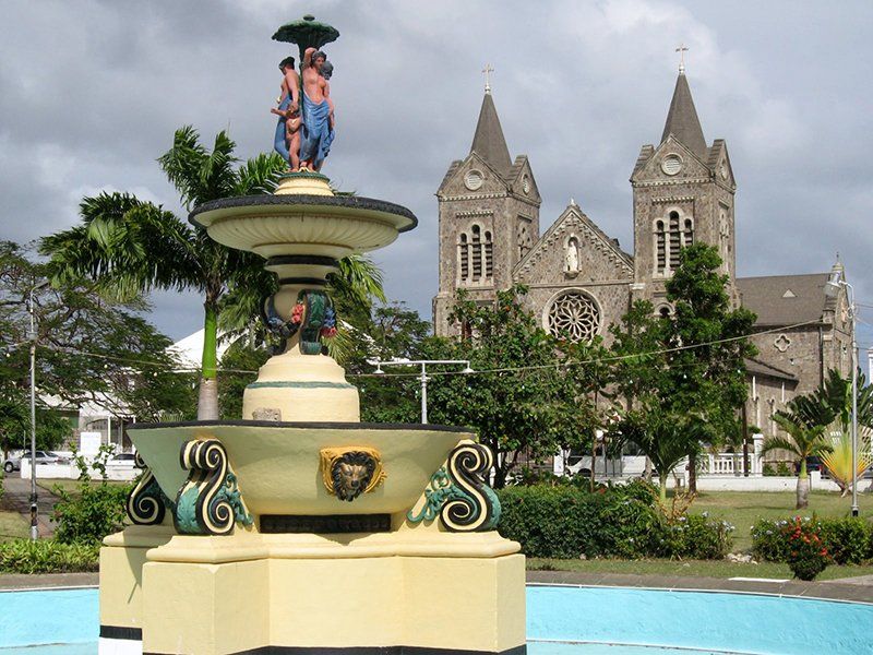
Independence Square
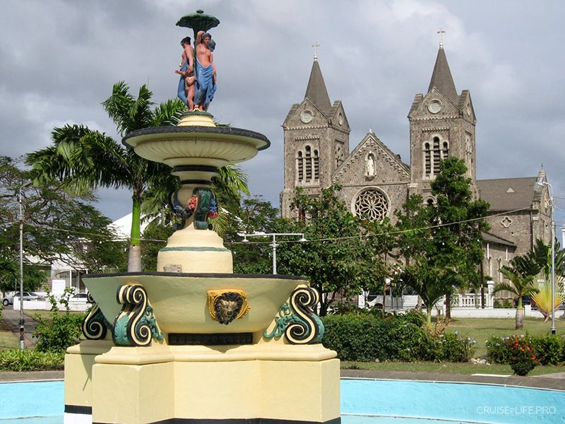
Independence Square, formerly known as Pell Mell Square, is a beautiful place in the capital of Saint Kitts and Nevis, the city’s main square and a popular park for relaxing and taking walks among both locals and visitors. It was renamed on September 19, 1983 in honor of the creation of the new state of Saint Kitts and Nevis. Previously, this area served as grazing land on the outskirts of town, but in 1792 construction began on what would become the future square, and in the 19th century a beautiful central fountain with a sculpture of the Virgin was added. Over the centuries, it has been repeatedly renovated and fully refreshed. With its old shops, cozy pathways, and green plantings, Independence Square is a wonderful place to unwind at any time of the year.
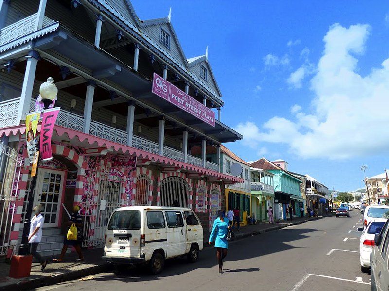
Fort Street
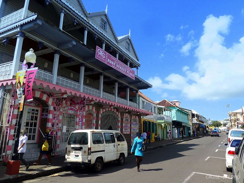
Fort Street is a small, historic street in the southern part of the city of Basseterre, one of the oldest and most picturesque streets in the entire city. Many historical buildings are located along it, built on the ruins of the old city fortification wall. Fort Street is not far from Independence Square and leads out to the Circus Square.This street is a wonderful place for strolling and taking photos, as many of the houses here were built in a unique and original architectural style that is found only in the city of Basseterre. Most of the buildings on Fort Street may seem older at first glance, although they were built in the late 19th century, but it is all due to soot-darkened stones left behind after a major fire in the capital.